Google announced on Wednesday, during its annual I/O developer conference, several thrilling advances in artificial intelligence (AI). The introduction of the “Immersive View” feature on Google Maps was one of the most noteworthy announcements.
This inventive feature provides users with an immersive, photorealistic view of routes on maps, expanding their viewing options. Through this feature, users can now receive real-time weather updates and air quality index information.
Learn more about this new Google Maps feature

What is new about the ‘Immersive View’ feature on maps?
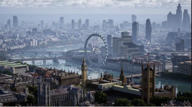
The newly-introduced Immersive View feature on Google Maps offers users an exciting new method to investigate locations prior to physically visiting them. This innovative feature integrates billions of Street View and aerial images to create a dynamic, photorealistic digital model of the globe using the latest advances in AI and computer vision technology.
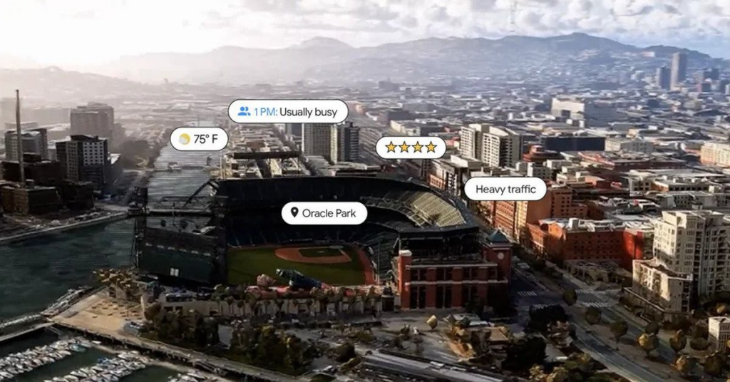
Immersive View provides a multitude of useful information, including real-time weather updates, traffic information, and insights into a location’s current level of activity. The outcome is an immersive experience that transports users to a location and gives them the impression that they are truly there.
How did it evolve?
The Immersive View feature of Google Maps employs a sophisticated AI technique known as Neural Radiance Fields (NeRF) to generate realistic 3D representations of actual environments.
NeRF assists in accurately capturing the illumination, material texture, and environs of a location to make the user appear to be physically present. This technology facilitates voyage planning and navigation in unfamiliar locations with greater confidence and familiarity.

Learn more about the new function.
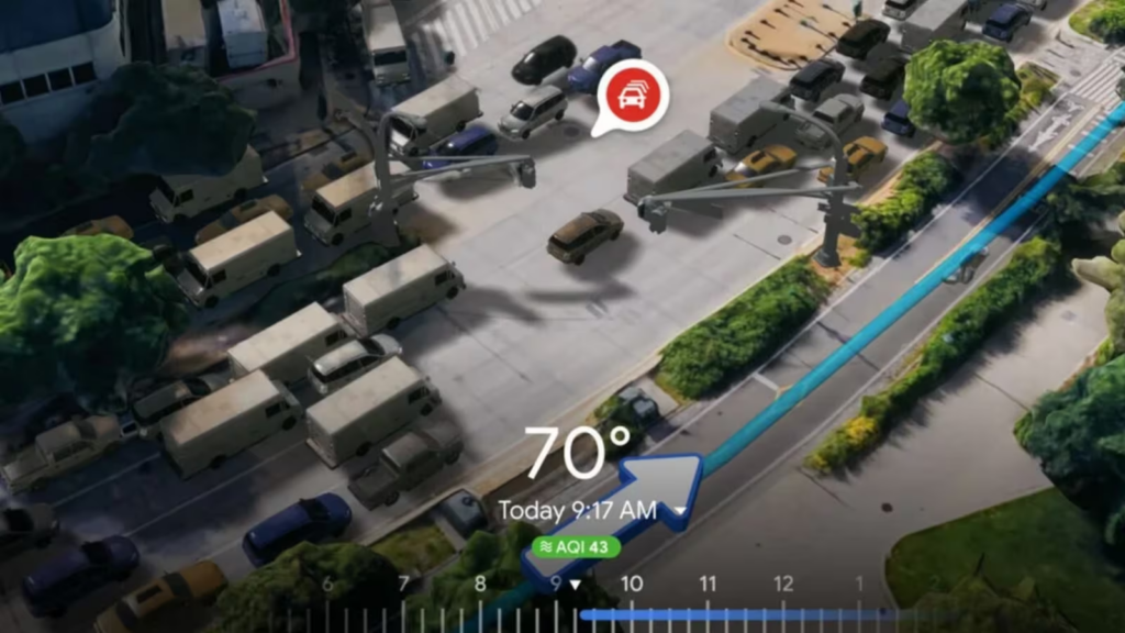
-With the new Immersive View feature, users can now preview bike lanes, footpaths, intersections, and parking options along their route before setting out.
-Additionally, the time slider feature enables users to access real-time air quality information and observe how the route changes throughout the day as weather patterns vacillate. This provides users with the information necessary to plan for the elements and make any necessary route adjustments.
-Additionally, Google Maps employs AI and historical driving trends to simulate the number of vehicles on the road at any given time, taking peak traffic hours and other variables into consideration.
Where is it being introduced?
In the coming months, Google will introduce Immersive View for itineraries in 15 global cities, including Amsterdam, Berlin, Dublin, Florence, Las Vegas, London, Los Angeles, New York, Miami, Paris, Seattle, San Francisco, San Jose, Tokyo, and Venice.
Despite the fact that no Indian city is presently on the list of cities slated to receive the update this year, users can anticipate the introduction of the feature in India sometime in 2019.

